

Roof Zone Mapping
Roof zone mapping for Charlotte commercial buildings - zoned diagrams that index inspection findings, moisture survey data, maintenance records, and repair history for multi-section flat roof systems.
Commercial Roofers Charlotte
Roof Zone Mapping gives owners a clearer way to compare roof conditions, budget timing, warranty requirements, and repair priorities.
A commercial roof without a zone map is a building where every inspection starts from scratch. We produce zone diagrams that index every inspection finding, moisture core, repair event, and maintenance record - so the roof's history is navigable by anyone who needs it.
Most commercial buildings in the Charlotte market do not have a roof zone map. They have a roof - and when a problem occurs, someone walks the roof, finds the problem, patches it, sends an invoice, and leaves. Two years later a new facility manager takes over the building, the leak recurs, and the new manager has no idea whether the area was ever looked at, what was done, or whether the current leak is the same failure point that was patched before. The diagnosis starts from zero, the contractor has no baseline, and the scope is built on guesswork.
Our zone mapping service for Charlotte commercial buildings creates the base document and populates it with the current condition findings from the baseline inspection. From that point, every subsequent inspection visit, moisture survey, repair event, and maintenance record is the project teamd to the zone map. A building owner five years from now can hand the zone map to a new contractor and that contractor will know where every prior finding occurred, what was done, and what the current condition rating was at the last inspection - without a phone call to us.
The closeout package keeps the next decision clear with before photos, after photos, material notes, warranty coordination, and recommended maintenance timing.
For occupied buildings, staging, access, odor control, and tenant communication are part of the roof plan before crews arrive.
For portfolio owners, the goal is consistent documentation across properties, not a one-off opinion that cannot be compared later.
The first visit produces a practical roof record: current conditions, visible failure points, drainage notes, access concerns, and the repair or replacement path that fits the building.
Owners get a written scope that separates urgent water-control work from longer-term capital planning, so the roof decision is not made from guesswork.
How We Create a Zone Map for a Charlotte Commercial Roof
Physical measurement or drawing-based layout: Where the building has current as-built drawings, we use those as the base. For the older Charlotte commercial inventory - the 1970s and 1980s Uptown office buildings, the first-wave Arrowood and Westinghouse industrial buildings, and many of the South End and NoDa adaptive reuse structures - as-built drawings either do not exist or do not accurately reflect the current roof configuration after decades of modifications. In those cases, we measure the roof field and construct the zone diagram from field measurement.
Zone boundary logic: We set zone boundaries at physical transitions in the roof assembly - drains, expansion joints, parapet setbacks, rooftop mechanical equipment clusters, and changes in roof slope. A zone is a continuous area of the roof field that is bounded by physical features. The logic is that a maintenance contractor walking the roof can identify where Zone C ends and Zone D begins without a GPS - because the zone boundary is at a drain or a curb or an expansion joint that is physically present.
Nomenclature and the project team system: Zones are labeled alphabetically (Zone A, Zone B, etc.) or by a cardinal direction system (North Field, South Field, Stair Tower West) depending on the building configuration. Drains are numbered within each zone. Penetrations and curb flashings are the project teamd by zone and sequential number - Penetration C-4 is the fourth penetration in Zone C. This system is designed to be comprehensible to any contractor, inspector, or facility manager without training specific to our documentation format.
Digital and printed formats: We deliver zone maps in both a PDF format suitable for printing and a geothe project teamd digital format that can be loaded into facilities management platforms. For buildings managed through our asset management program, the zone map is the base layer of the building's asset record in our system. For buildings we inspect but do not manage, the zone map is a standalone deliverable - formatted so the building owner can maintain it regardless of which contractor performs future work.
Zone Mapping Applications Building Categories
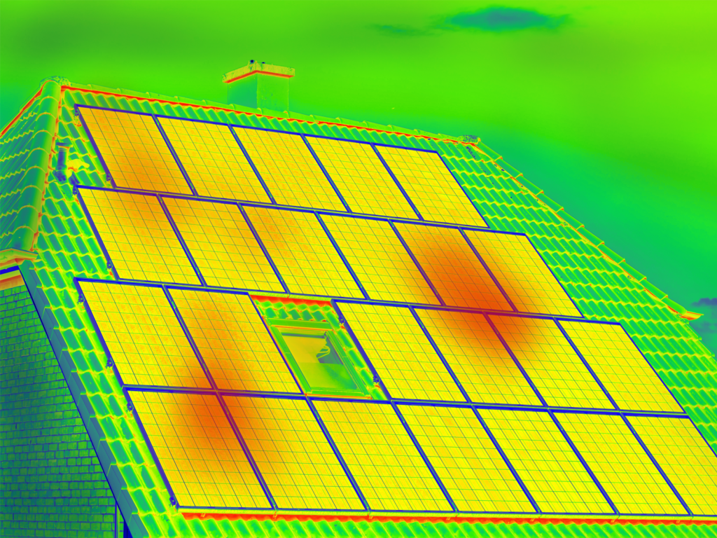
Steele Creek and I-485 distribution buildings: Large-footprint buildings with roof areas above 100,000 square feet on a single plane require zone maps with more granularity than smaller buildings - not fewer zones, but tighter zone boundaries, so that a moisture finding at Zone G-6 is within a defined 10,000-square-foot area rather than a 50,000-square-foot quadrant. The zone map is what makes infrared scan anomaly mapping precise enough to direct core sampling to a specific location rather than to a general area of the roof.
Phased construction with multiple roof generations: Many Charlotte commercial buildings were built in phases - a Ballantyne campus building that added a wing in 2008, a University Research Park office complex that expanded in 2012, a South End adaptive reuse structure where a 1920s warehouse was connected to a 2005 addition. Each phase may have a different membrane system, a different installation contractor, and a different manufacturer warranty. Zone mapping for these buildings distinguishes each phase as a separately managed area, with its own condition record and its own replacement timeline.
Uptown Charlotte high-rise and multi-level roofs: The office towers in the BofA Corporate Center block and the surrounding Uptown district have roof areas at multiple building levels - penthouse level, setback levels, occupied terrace levels - each with its own membrane system and its own access conditions. Zone mapping for these buildings is a multi-level diagram that distinguishes each roof level and documents the access method and access constraints for each zone, so that a future contractor can plan access without an on-site briefing.
Zone Mapping as the Foundation of the Roof's Document Record
A zone map created at baseline and maintained through subsequent inspections and maintenance events is the document that makes every other piece of the building's roof record retrievable. The warranty closeout package for a Steele Creek distribution center the project teams Zone E through Zone H as the sections replaced under the new manufacturer warranty and Zone A through Zone D as the sections retained under the prior recover warranty. Without zone map the project team, that distinction lives in someone's memory until the personnel change makes it inaccessible.
We update the zone map after every inspection and maintenance event. The update is not a new document - it is an addition to the existing record: a new condition rating for each zone, new photographs the project teamd to the zone labels, and a new maintenance action list. Five years of updates on the same zone map produces a condition history for the building that no other document type can replicate.
Do you need building drawings to create a zone map for a Charlotte commercial building?
No. Drawings are helpful when they exist and accurately reflect the current roof configuration - they speed up the process and give us as-built dimensions. But many Charlotte commercial buildings, particularly the older industrial and warehouse inventory in Arrowood, Westinghouse, and the South End adaptive reuse corridor, do not have drawings that reflect decades of modifications. We construct zone diagrams from field measurement in those cases. The resulting zone map is schematically accurate to the physical building even when it is not dimensionally precise to the original construction drawings.
How long does it take to create a zone map for a Charlotte commercial building?
For a simple single-slope building up to 50,000 square feet, zone map development is included in the inspection report delivery - no additional timeline. For complex buildings with multiple roof levels, phased construction, or buildings above 100,000 square feet where field measurement is required, the zone map adds two to three days to the report delivery timeline. For Uptown Charlotte high-rise buildings requiring multi-level diagrams, the zone map development is scoped separately and timed to the inspection schedule.
Can your zone map work with our existing facilities management software?
We deliver zone maps in PDF format and in a geothe project teamd digital format compatible with most commercial facilities management platforms. If your team uses a specific platform - Angus, MRI Facilities, or a custom system - we can discuss the format that works best for your workflow. The goal is a zone map that your team can maintain and that any future contractor can use without format translation. We do not deliver in a proprietary format that requires us to translate it every time someone needs to use it.
Ready to give your Charlotte commercial roof a navigable document record?
We create zone maps for Charlotte commercial buildings of any size and complexity - from a single suburban commercial building to a multi-building corporate campus - and integrate them into a maintained inspection record that tracks condition history through every service event.
Request a Written Scope